Established to foster sensible approaches for environmental and energy resource utilization.
The Center’s specialties include assessment and remediation studies of pollution in natural settings, and evaluation of natural resources for potential production of energy, especially the production of renewable energy. The Center for Natural Resources conducts studies ranging from the microscopic scale to the landscape scale and utilizes advanced networks of sensors.
The staff of the Center integrates comprehensive field measurements with powerful computational models. The Center is internationally known for its long-term studies of the Exxon Valdez oil spill in Alaska and the recent Gulf of Mexico oil spill, along with its efforts in dealing with Hurricane Sandy. The Center’s publications have been in renowned journals, such as NATURE geosciences and Environmental Science and Technology. The CNR Center collaborates with a broad range of constituents, including federal, industrial and regional foundations to create sustainable approaches that adequately balance the diversity of public and private interests.
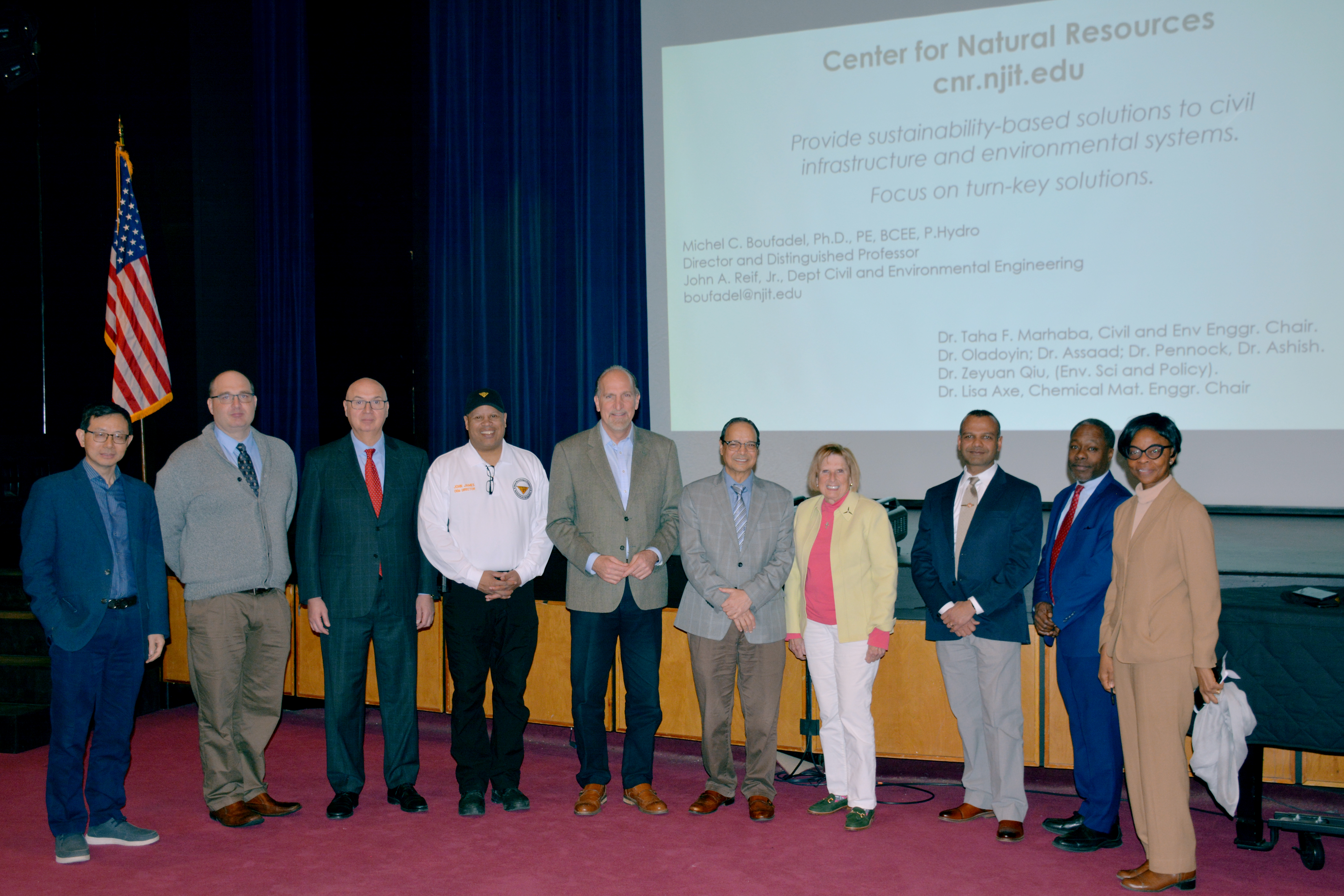
Board of Overseers Excellence in Research Prize and Medal
The Excellence in Research Prize and Medal is awarded in recognition of a sustained record of contributions that have enhanced the reputation of NJIT.
The NJIT Board of Overseers is proud to award Michel Boufadel, distinguished professor of civil and environmental engineering.
Featured Events

Computing Resilience in an Era of Uncertainty
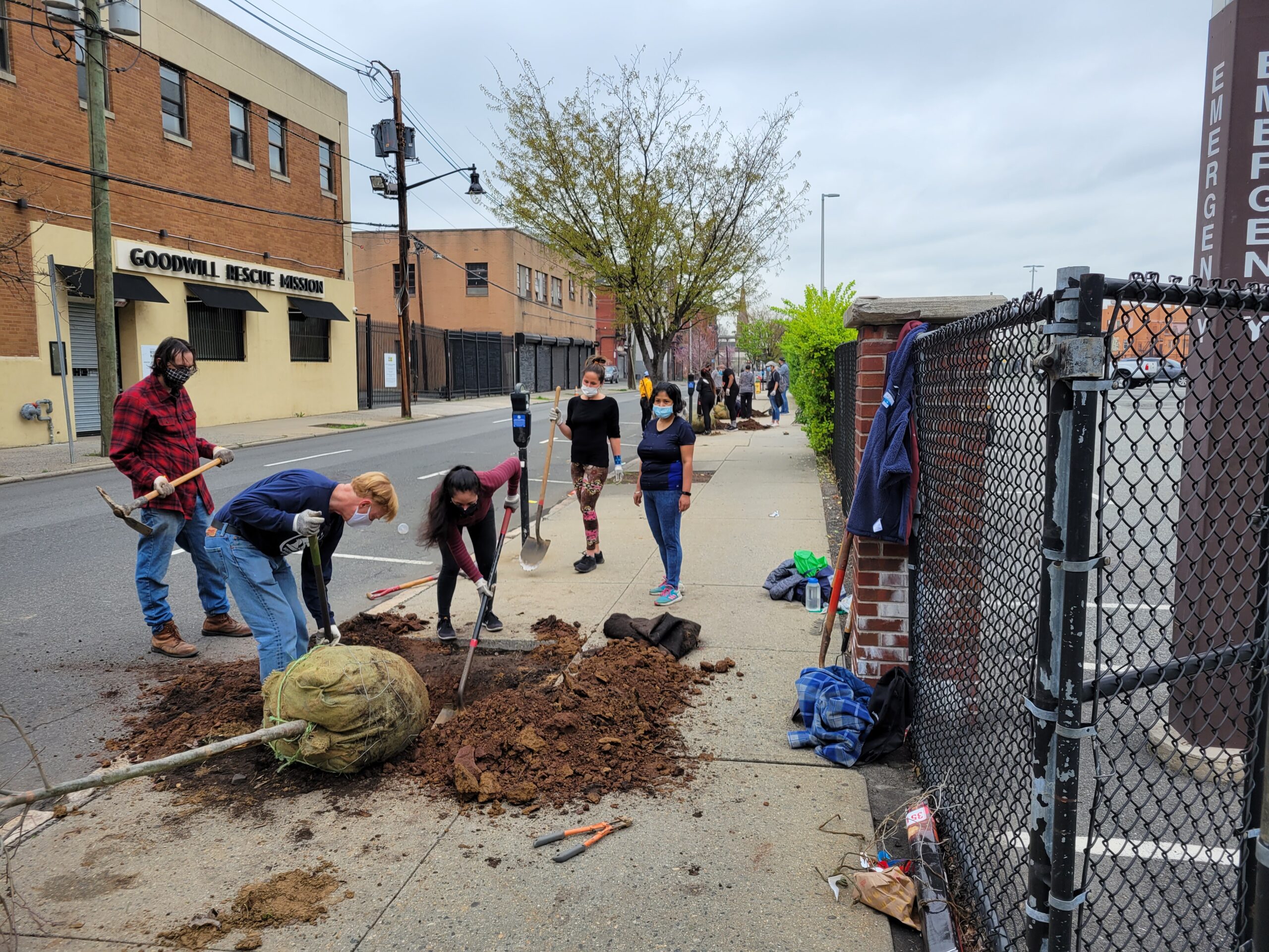
Urban and Community Forestry Grants

Newark City's 2nd Annual Green Fair - CNR Presentation
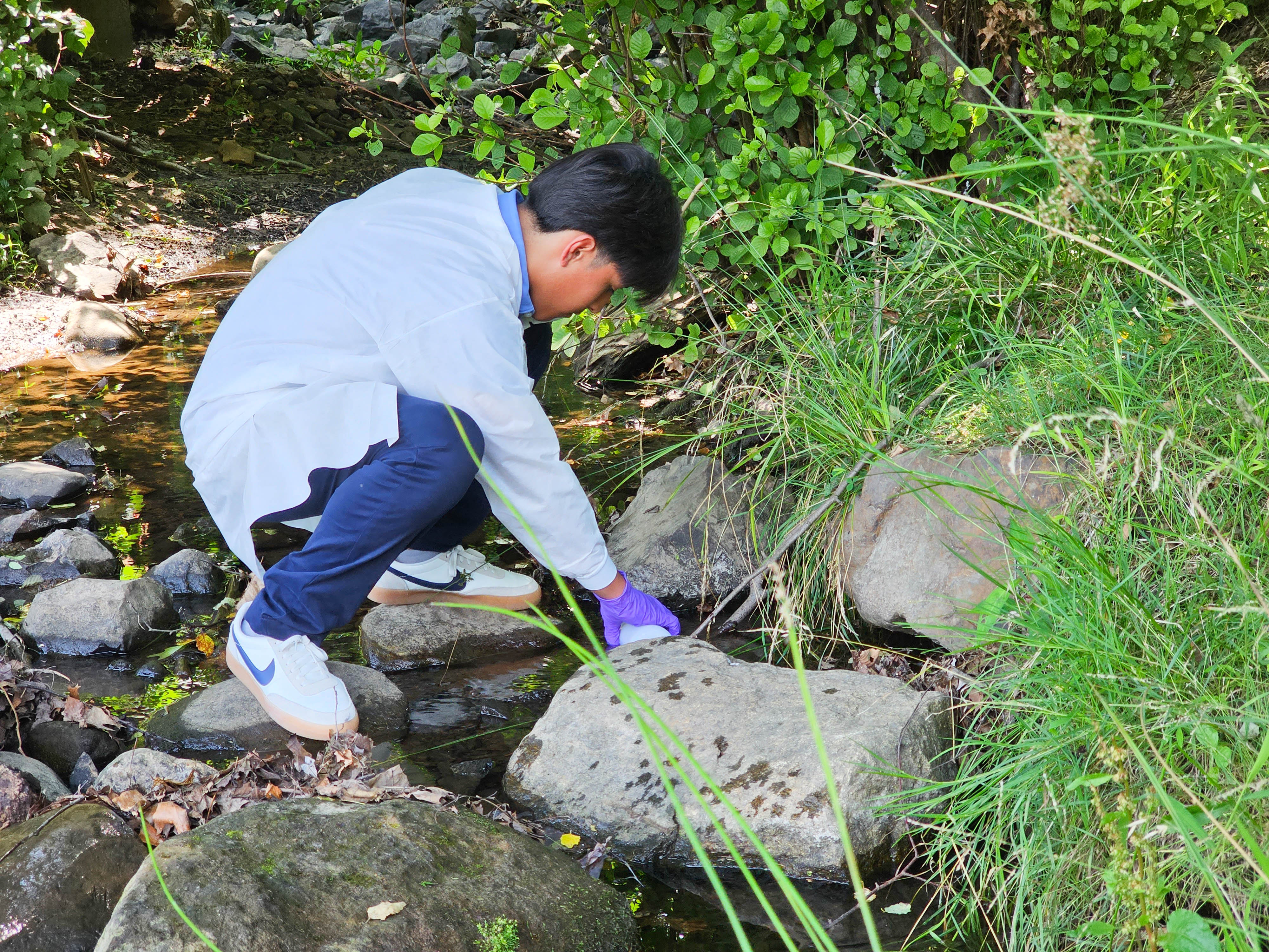
Summer program at CNR for High School Students
Preparing and Responding to Disasters
For past news checkout here.
Recent Symposium
Wednesday, Nov. 1st, 2023
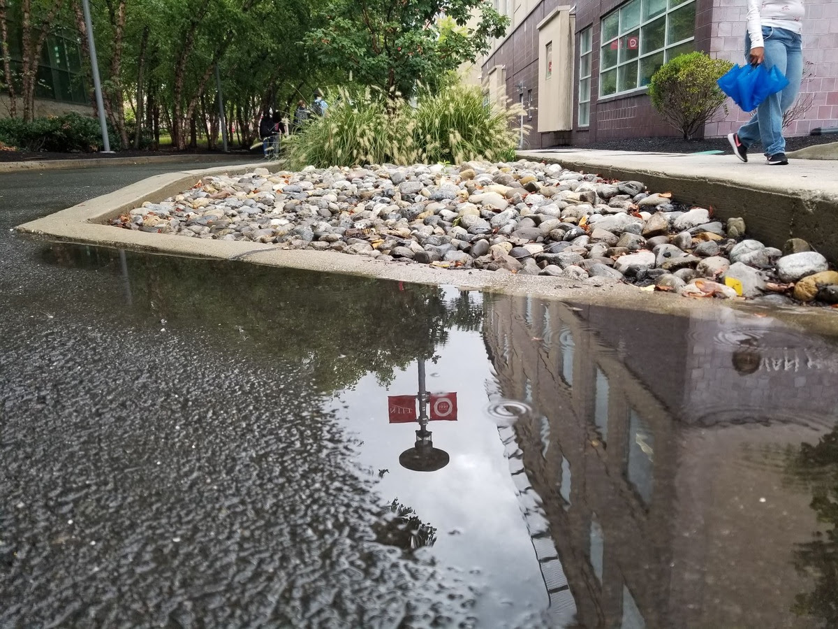
Green Infrastructure in Newark,NJ
Stormwater Management, Urban Heat Island, and Air Quality
Reflecting on the success of the Green Infrastructure in Newark Symposium, we are thrilled to share the highlights and insights from this inspiring event. The symposium featured a dynamic lineup of talks and presentations, followed by a stimulating panel discussion that addressed critical issues in the world of urban green infrastructure.
Symposium Info